

Services
Alaska’s Airborne Imaging Spectroscopy Resource
From survey design to actionable geospatial intelligence.
HyLab provides Alaska-based access to advanced airborne hyperspectral imaging, reducing the logistical complexity and cost of conducting imaging spectroscopy surveys in remote northern environments. We support research, resource exploration, environmental monitoring, and community-focused applications across Alaska and the Arctic.
Aerial Imaging
HyLab provides aerial hyperspectral imaging services for high-resolution spectral data acquisition and advanced spectral analysis, enabling precise material identification and environmental monitoring across diverse terrestrial and aquatic environments.
Hyperspectral VNIR/SWIR Imaging
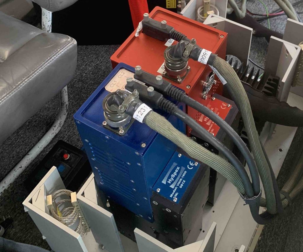
HySpex VNIR/SWIR
IMAR GPS/IMU Unit
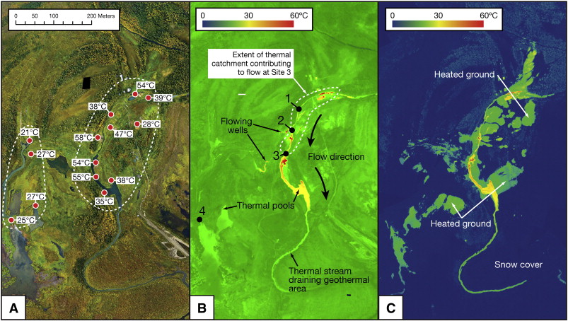
FLIR Thermal Imaging
FLIR A655sc
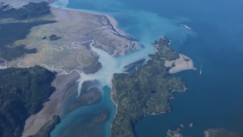
Aerial RGB Photography
Sony ILX-LR1
Data Processing
HyLab provides data processing services for transforming raw hyperspectral datasets into calibrated, analysis-ready products through advanced preprocessing, correction, and feature extraction workflows.

Environmental Analysis
HyLab provides environmental analysis services using hyperspectral data to derive insights on ecosystem condition, surface composition, and environmental change through quantitative spectral interpretation.
Advanced Environmental Intelligence using Hyperspectral Data
HyLab’s environmental analysis services provide high-resolution, spectrally rich data that reveal critical information about environmental conditions across terrestrial and aquatic ecosystems. By capturing and analyzing hundreds of contiguous spectral bands, we enable accurate mapping and monitoring of vegetation health, water quality, soil properties, mineral composition, pollution, and ecosystem change. Our advanced airborne and ground-based hyperspectral imaging solutions support environmental assessments, habitat monitoring, natural resource management, contamination detection, and regulatory compliance. Through integrated data acquisition, processing, and customized analytics, we deliver actionable insights that help researchers and organizations make informed decisions for sustainable environmental stewardship and long-term ecosystem resilience.
Projects
Hyperspectral Surveys
Publications