

Turn Your Ideas into Data

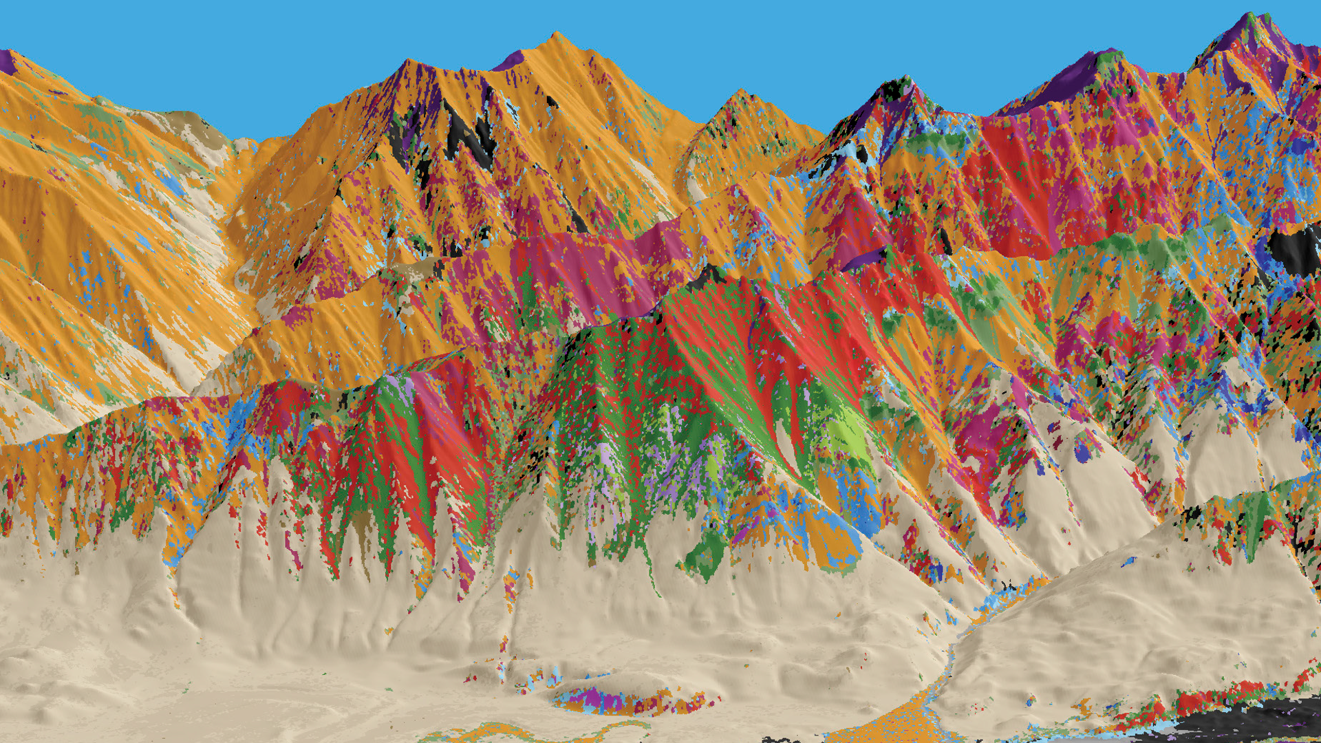
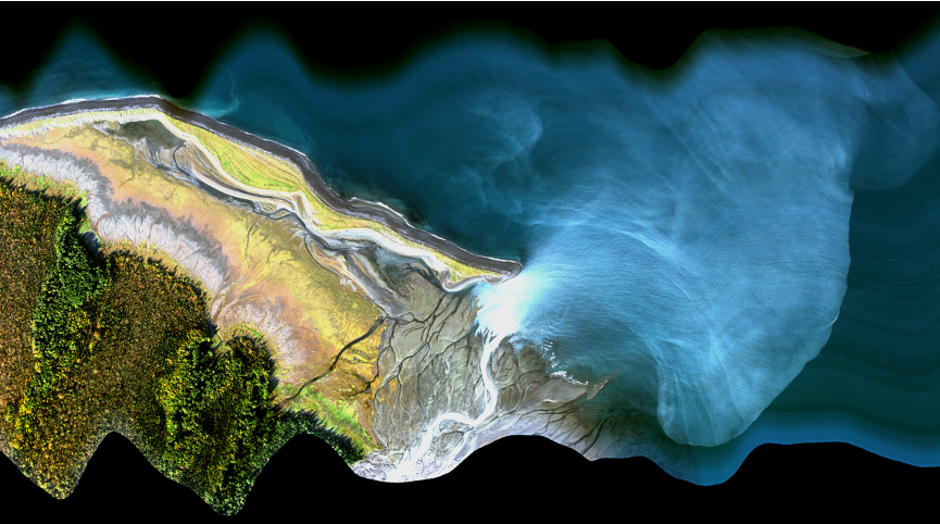
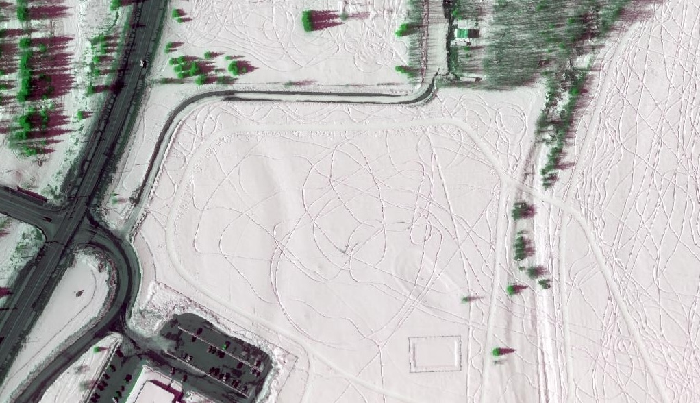
The Hyperspectral Imaging Laboratory (HyLab) is Alaska’s premier airborne imaging spectroscopy facility. Using advanced hyperspectral remote sensing technology, HyLab supports research and applications across Alaska and the Arctic, including critical minerals exploration, environmental monitoring, infrastructure assessment, snow and ice studies, coastal processes, and ecosystem mapping.

Hyperspectral Imaging

Hyperspectral imaging (imaging spectroscopy) is an advanced remote sensing technique that measures how materials reflect energy across hundreds of spectral bands. By combining these data, it identifies unique spectral signatures, enabling precise detection of minerals, vegetation health differences, and environmental contaminants.

This video shows handwritten notes and animations explaining hyperspectral imaging, including spectral bands and material identification. Click to play audio version.
×